| BRIDGE DESCRIPTION - PART I | English
|
2.3 Bridge Description Many descriptions of the bridge are available and have been published with technical notes, like dimensions and main characteristics of the monument, but, quite often, it happens to find inaccuracies in these presentations that, anyhow, are neither exhaustive nor technical to represent correctly the bridge as it was. An accurate description of the structure and of the site is necessary and desirable to allow also a complete understanding of the technical issues that have been analysed in this report. Here next, in the following paragraphs, general notes are given as introduction to the ancient monument main typological peculiarities: for a more detailed analysis about the technical constructive methods refer to chapter 9 of this report.
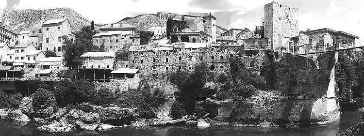
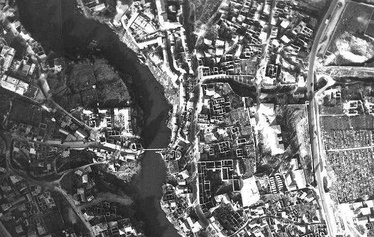
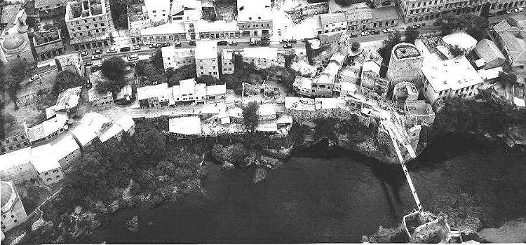
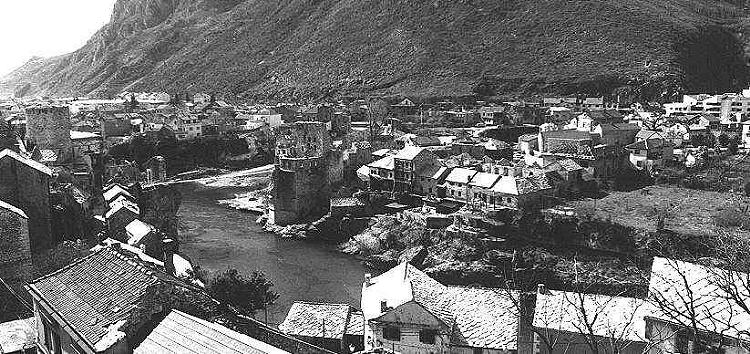
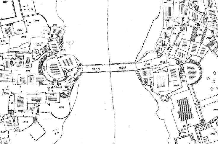
2.3.1 The site and the Neretva river The site, where the Old Bridge of Mostar was located, is in the most ancient core of the town, and on both banks of the river there are ancient stone buildings in the typical architecture style of the place, influenced by the Ottomans. The river Neretva is quite lower than the adjacent streets leading to the bridge, being the average river level at m.42 (a.s.l.), the average riverbed level at m.38 (a.s.l.) and the average street level at m.55 (a.s.l.). River banks, composed of natural conglomerate rocks, are quite steep: this happen mostly on the east side, where masonry stone walls of the buildings and rocks, (on which they are founded), make a sort of vertical barrier to the river flows.
The river Neretva runs from north to south and, 100-150 metres before the bridge site, the riverbed gets suddenly smaller and makes a turn which leads the flows more towards the east bank.
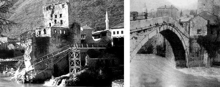
The river Neretva has got a torrential regime and its waters get easily and suddenly strong and high even during one single daytime. River water levels, anyhow are very much influenced by the seasons: during the dry season it is possible to see the rocks along both of the banks and to see the foundation levels of the abutment walls. While during floods the river may reach very high levels, and even in recent times, it has been possible to observe the river so high to cause damages to the houses located by the banks. In January 2000 a flood caused the collapse of the temporary gangway, (footpath), located approximately at the adjacent streets level, and many other damages, (among which the collapse of the Kriva Kuprija bridge). The riverbed, immediately after the Old Bridge crossing spot, gets much wider and the Neretva receives its tributary: the river Radobolja; moreover, many other small rivulets fall in the Neretva along the site mostly from the west side before the bridge. Here next a small cadastral map of the area is included, but for a better view of the site it is suggested to refer to design drawing CU-01.
|
|
CREDITS: Intellectual property of this report and of the design drawings is owned by General Engineering s.r.l.author of the text: arch. Manfredo Romeo – other contributes have been mentioned in related paragraphs © - General Engineering Workgroup - SOURCE: Final Design Report |
|